top of page
Fast Deliveries
Expert Advice
Technical support


How to improve the accuracy of your utility mapping and asset management
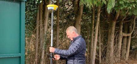
Discover how to enhance utility mapping and asset management accuracy with GeoMax Zenith06 Pro, Samsung XCover 7 and X-PAD ultimate software
3 min read


What is BIM and how does it impact measured building surveyors?
The introduction of Building Information Modeling (BIM), coupled with advancements in surveying equipment and digital tools, has unlocked
2 min read


How to choose your GNSS Antenna
Global Navigation Satellite System (GNSS) technology has become an integral part of modern land surveying and construction projects.
2 min read


The Role of Terrestrial Laser Scanning & Mobile Laser Scanning for Land Surveying & Construction
Importance of terrestrial laser scanning & mobile laser scanning for Land surveyors, civil engineers, and construction ground workers
2 min read


Zenith06 Entry-Level Smart Antenna: Simplicity, Accuracy, and Cost-Effectiveness
Discover precision and efficiency in surveying with the Zenith06 smart antenna. Seamlessly integrated with user friendly X-PAD software
2 min read
bottom of page


